Computer Vision for Drone Imagery
Computer vision is a field of study that focuses on enabling computers to interpret and understand visual data from the world, such as images and videos. This technology is crucial for drone imagery as it allows drones to navigate, understa…
Computer vision is a field of study that focuses on enabling computers to interpret and understand visual data from the world, such as images and videos. This technology is crucial for drone imagery as it allows drones to navigate, understand their surroundings, and make decisions based on visual data. Here are some key terms and vocabulary related to computer vision for drone imagery:
1. Image processing: A series of operations performed on an image to extract useful information or enhance its quality. These operations can include filtering, edge detection, and noise reduction. 2. Object detection: The process of identifying and locating objects within an image or video. This is a critical task for drones as it enables them to avoid obstacles, track objects, and navigate. 3. Feature extraction: The process of identifying and extracting key features from an image, such as corners, edges, or textures. These features can be used for tasks such as object recognition or tracking. 4. Convolutional Neural Networks (CNNs): A type of deep learning model that is commonly used for image classification and object detection tasks. CNNs are designed to automatically learn and extract features from images. 5. Semantic segmentation: The process of partitioning an image into multiple regions, where each region corresponds to a specific object or class. This is useful for tasks such as scene understanding or object tracking. 6. Optical flow: The pattern of apparent motion of image objects between two consecutive frames caused by the movement of object or camera. It is a 2D vector field where each vector is a displacement vector showing the movement of points from first frame to second. 7. SLAM (Simultaneous Localization and Mapping): A technique used to construct or update a map of an unknown environment while simultaneously keeping track of the drone's location within it. This is important for drones as it enables them to navigate and avoid obstacles. 8. Visual odometry: A method for estimating the position and orientation of a camera or drone based on the visual data it captures. This is used for navigation and obstacle avoidance. 9. 3D reconstruction: The process of creating a 3D model of an object or environment from 2D image data. This is useful for tasks such as inspection, mapping, or object recognition. 10. Deep learning: A subset of machine learning that uses artificial neural networks with many layers to learn and represent data. Deep learning models are particularly well-suited for image and video analysis. 11. Transfer learning: The process of using a pre-trained deep learning model as a starting point for a new task. This is useful when training data is limited, as it allows the model to leverage knowledge learned from a related task. 12. YOLO (You Only Look Once): A real-time object detection system that is designed to process images and video in a single pass, making it well suited for drone imagery. 13. Region-based Convolutional Neural Networks (R-CNN): A family of object detection models that use a region proposal algorithm to identify potential objects in an image, and then classify those objects using a CNN. 14. Faster R-CNN: An improvement on R-CNN that uses a region proposal network to generate region proposals, making it faster and more efficient than the original R-CNN. 15. Single Shot MultiBox Detector (SSD): An object detection model that detects objects in a single shot, making it faster than traditional two-stage detectors like Faster R-CNN. 16. Mask R-CNN: An extension of Faster R-CNN that adds a branch for predicting object masks in addition to the existing branch for bounding box prediction. 17. Non-maximum suppression: A post-processing step used in object detection to eliminate duplicate detections of the same object. 18. Intersection over Union (IoU): A metric used to evaluate the accuracy of object detection models. It measures the overlap between the predicted bounding box and the ground truth bounding box, divided by the area of their union.
These are just a few of the key terms and concepts related to computer vision for drone imagery. By understanding these terms, you will be well on your way to mastering the field and developing advanced drone applications.
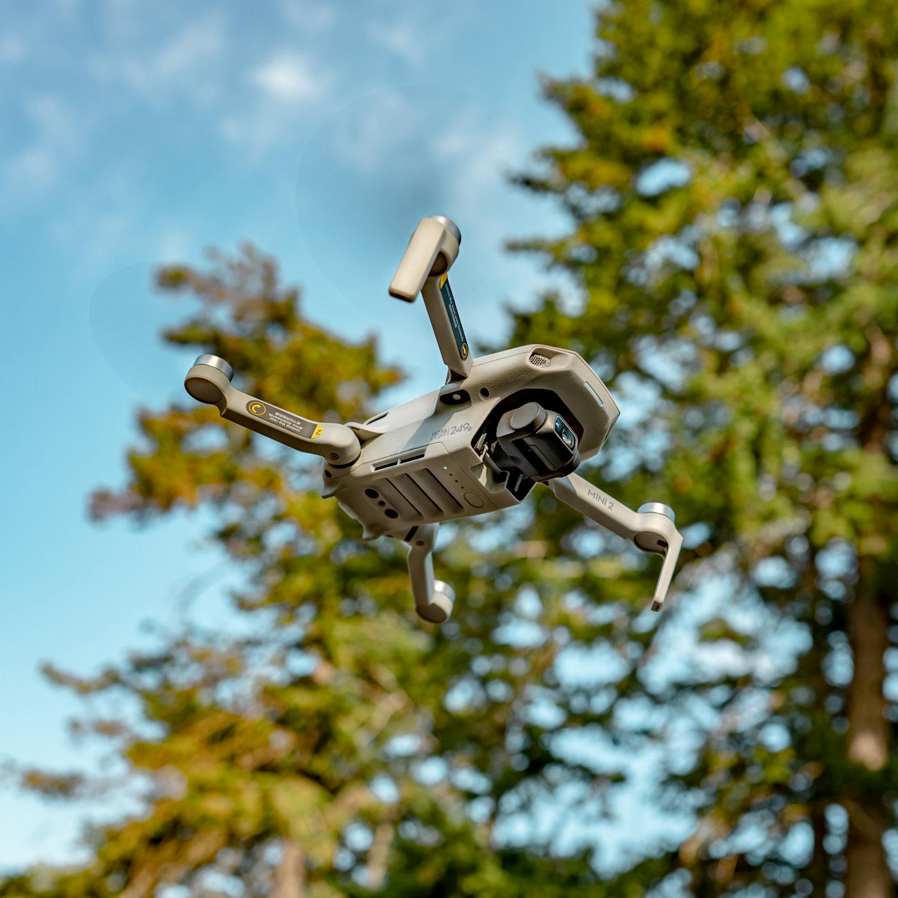
Example: A drone equipped with a camera can use computer vision to navigate and avoid obstacles. The camera captures images of the environment, which are then processed using image processing techniques to extract useful information. Object detection algorithms can be used to identify and locate objects within the image, such as trees, buildings, or other drones. These objects can be tracked over time using techniques such as optical flow, allowing the drone to navigate around them.
Challenge: One of the biggest challenges in computer vision for drone imagery is dealing with changing lighting conditions and weather. Sunlight, shadows, and reflections can all affect the quality of the images captured by the drone's camera, making it difficult to extract useful information. Additionally, weather conditions such as rain, snow, or fog can further degrade the image quality, making it even more challenging to perform tasks such as object detection or tracking. To overcome these challenges, advanced image processing techniques and deep learning models are needed to handle the variability in the data and maintain high levels of accuracy.
Conclusion: Computer vision is a crucial technology for drone imagery, enabling drones to navigate, understand their surroundings, and make decisions based on visual data. By understanding the key terms and concepts related to computer vision for drone imagery, you will be well-equipped to develop advanced drone applications and tackle the challenges posed by changing lighting conditions and weather.
Key takeaways
- Computer vision is a field of study that focuses on enabling computers to interpret and understand visual data from the world, such as images and videos.
- Region-based Convolutional Neural Networks (R-CNN): A family of object detection models that use a region proposal algorithm to identify potential objects in an image, and then classify those objects using a CNN.
- By understanding these terms, you will be well on your way to mastering the field and developing advanced drone applications.
- The camera captures images of the environment, which are then processed using image processing techniques to extract useful information.
- Additionally, weather conditions such as rain, snow, or fog can further degrade the image quality, making it even more challenging to perform tasks such as object detection or tracking.
- By understanding the key terms and concepts related to computer vision for drone imagery, you will be well-equipped to develop advanced drone applications and tackle the challenges posed by changing lighting conditions and weather.