Remote Sensing Techniques in Agriculture
Remote Sensing Techniques in Agriculture
Remote Sensing Techniques in Agriculture
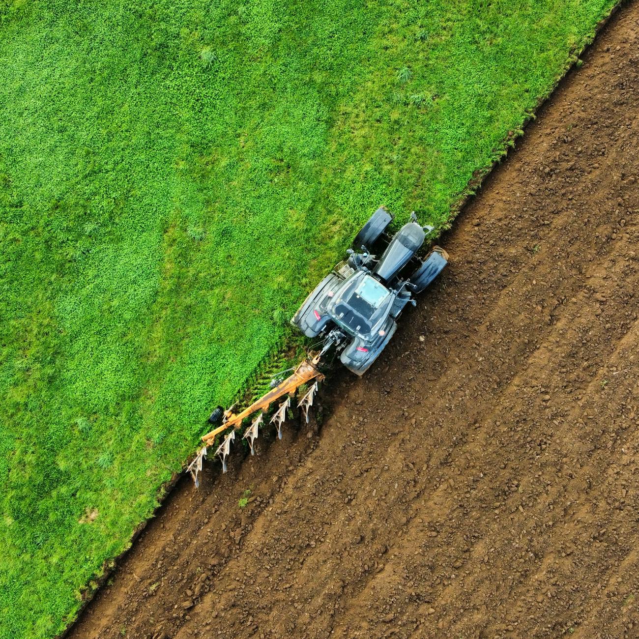
Remote sensing techniques in agriculture refer to the use of satellite or aerial imagery to gather information about crops, soil, and other elements of agricultural landscapes. These techniques provide valuable data that can help farmers make more informed decisions to improve crop yields, reduce input costs, and optimize resource management. In this course, we will explore the various remote sensing techniques used in agriculture and how they can be leveraged for precision agriculture.
Key Terms and Vocabulary
1. Remote Sensing: Remote sensing is the process of acquiring information about an object or phenomenon without making physical contact with it. In agriculture, remote sensing techniques typically involve the use of satellites, drones, or aircraft to capture images of fields and crops.
2. Precision Agriculture: Precision agriculture is a farming management concept that uses technology to optimize crop yields and reduce input costs. Remote sensing techniques are a crucial component of precision agriculture, as they provide farmers with valuable data to make informed decisions about crop management.
3. Spectral Bands: Spectral bands are specific ranges of wavelengths within the electromagnetic spectrum that are used to capture images in remote sensing. Different types of vegetation and soil reflect light differently across the spectrum, allowing for the identification of various crop types and conditions.
4. NDVI (Normalized Difference Vegetation Index): NDVI is a commonly used vegetation index that measures the amount of live vegetation in an area based on the difference between near-infrared and red light reflected by plants. High NDVI values indicate healthy vegetation, while low values may indicate stress or lack of vegetation.
5. GIS (Geographic Information System): GIS is a system designed to capture, store, manipulate, analyze, manage, and present spatial or geographic data. In agriculture, GIS is often used in conjunction with remote sensing data to create detailed maps of fields and monitor crop health.
6. Crop Monitoring: Crop monitoring involves using remote sensing techniques to track the growth and health of crops throughout the growing season. This information can help farmers identify areas of stress, disease, or nutrient deficiencies and take corrective action.
7. Precision Irrigation: Precision irrigation refers to the practice of delivering water to crops in a precise and controlled manner based on real-time data. Remote sensing techniques can help farmers optimize irrigation schedules and target water application to areas of the field that need it most.
8. Crop Yield Prediction: Remote sensing data can be used to predict crop yields by analyzing factors such as plant health, soil moisture, and weather conditions. This information allows farmers to make informed decisions about harvest timing and marketing strategies.
9. Machine Learning: Machine learning is a subset of artificial intelligence that allows systems to learn from data and make predictions or decisions without being explicitly programmed. Machine learning algorithms can be trained on remote sensing data to classify crop types, detect pests, or predict yield outcomes.
10. Hyperspectral Imaging: Hyperspectral imaging is a remote sensing technique that captures images in hundreds of narrow spectral bands across the electromagnetic spectrum. This high-resolution data can be used to identify subtle differences in crop health, nutrient levels, and soil properties.
11. Thermal Imaging: Thermal imaging is a remote sensing technique that measures the infrared radiation emitted by objects. In agriculture, thermal imaging can be used to monitor crop temperature, detect water stress, and assess heat stress in livestock.
12. UAV (Unmanned Aerial Vehicle): UAVs, commonly known as drones, are small aircraft that can be equipped with cameras and sensors to capture high-resolution images of fields from above. UAVs are increasingly being used in agriculture for crop monitoring, mapping, and surveillance.
13. Data Fusion: Data fusion is the process of combining information from multiple sources, such as satellite imagery, drone footage, and ground-based sensors, to create a more comprehensive and accurate picture of agricultural landscapes. Data fusion can improve the quality and reliability of remote sensing analysis.
14. Cloud Computing: Cloud computing refers to the delivery of computing services, such as storage, processing, and analysis, over the internet. Remote sensing data can be uploaded to cloud-based platforms for efficient storage, sharing, and collaboration among stakeholders.
15. Data Resolution: Data resolution refers to the level of detail or granularity in remote sensing images. High-resolution data can capture small-scale features like individual plants or pests, while low-resolution data provides a broader view of the landscape.
16. Data Processing: Data processing involves the manipulation and analysis of remote sensing data to extract meaningful information. This may include image classification, change detection, feature extraction, and statistical analysis to support decision-making in agriculture.
17. Challenges in Remote Sensing: Despite the benefits of remote sensing techniques in agriculture, there are several challenges that need to be addressed. These include data interpretation, sensor calibration, cloud cover, atmospheric interference, and the cost of acquiring and processing imagery.
18. Future Trends: The field of remote sensing in agriculture is evolving rapidly, with new technologies and applications emerging to address current challenges. Future trends may include the integration of artificial intelligence, blockchain technology, and precision farming techniques to enhance productivity and sustainability in agriculture.
19. Case Studies: Case studies provide real-world examples of how remote sensing techniques have been successfully applied in agriculture. These examples demonstrate the practical benefits of using satellite imagery, drones, and other remote sensing tools to improve crop management practices and optimize resource use.
20. Best Practices: Best practices in remote sensing for agriculture involve careful data collection, processing, and interpretation to ensure accurate and reliable results. Farmers and agronomists should follow standardized protocols, validate findings with ground truth data, and continuously monitor and refine their remote sensing workflows.
In conclusion, remote sensing techniques play a vital role in modern agriculture by providing valuable data for crop monitoring, precision irrigation, yield prediction, and decision-making. By leveraging the power of satellite imagery, drones, and advanced analytics, farmers can optimize their operations, increase productivity, and promote sustainable practices in the agricultural sector.
Key takeaways
- Remote sensing techniques in agriculture refer to the use of satellite or aerial imagery to gather information about crops, soil, and other elements of agricultural landscapes.
- Remote Sensing: Remote sensing is the process of acquiring information about an object or phenomenon without making physical contact with it.
- Remote sensing techniques are a crucial component of precision agriculture, as they provide farmers with valuable data to make informed decisions about crop management.
- Spectral Bands: Spectral bands are specific ranges of wavelengths within the electromagnetic spectrum that are used to capture images in remote sensing.
- NDVI (Normalized Difference Vegetation Index): NDVI is a commonly used vegetation index that measures the amount of live vegetation in an area based on the difference between near-infrared and red light reflected by plants.
- GIS (Geographic Information System): GIS is a system designed to capture, store, manipulate, analyze, manage, and present spatial or geographic data.
- Crop Monitoring: Crop monitoring involves using remote sensing techniques to track the growth and health of crops throughout the growing season.