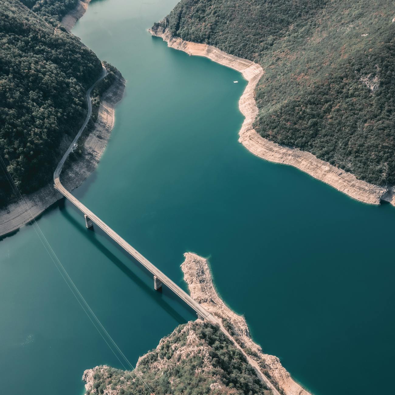
Remote Sensing and GIS in Water Resource Projects
Expert-defined terms from the Postgraduate Certificate in Implementation of AI in Water Resource Projects course at London School of International Business. Free to read, free to share, paired with a professional course.
Remote Sensing #
Remote sensing is the science of obtaining information about objects or areas fr… #
It involves the detection and measurement of electromagnetic radiation (e.g., visible light, infrared, microwave) that is reflected, emitted, or scattered by the object or area being studied. Remote sensing is widely used in various fields such as agriculture, forestry, urban planning, environmental monitoring, and water resource management.
GIS (Geographic Information System) #
GIS is a system designed to capture, store, manipulate, analyze, manage, and pre… #
It allows users to create interactive maps and visualize data in a geographic context. GIS integrates hardware, software, and data for capturing, managing, analyzing, and displaying all forms of geographically referenced information.
Water Resource Projects #
Water resource projects refer to initiatives or schemes aimed at the efficient m… #
These projects involve the planning, development, and implementation of infrastructure, policies, and practices to ensure sustainable access to clean water for various purposes, including drinking, irrigation, industrial use, and environmental conservation.
Implementation of AI in Water Resource Projects #
The implementation of artificial intelligence (AI) in water resource projects in… #
AI can help in predicting water availability, analyzing water quality, optimizing water distribution networks, and improving decision-making processes in water management.
Acronym #
An acronym is a word formed from the initial letters of a multi #
word name or phrase, usually pronounced as a single word. Acronyms are commonly used in technical fields to simplify complex terminology and improve communication efficiency. For example, GIS stands for Geographic Information System.
Algorithm #
An algorithm is a step #
by-step procedure or formula for solving a problem or accomplishing a task. In the context of remote sensing and GIS, algorithms are used to process and analyze spatial data, such as image classification, feature extraction, and spatial modeling.
Aquifer #
An aquifer is a geological formation that contains water and allows the flow of… #
Aquifers are important sources of groundwater for drinking, irrigation, and industrial purposes. Understanding aquifer properties and dynamics is essential for effective water resource management.
Classification #
Classification is the process of categorizing or grouping data based on certain… #
In remote sensing, classification refers to the categorization of pixels in an image into different land cover or land use classes, such as water bodies, forests, urban areas, and agricultural fields.
Digital Elevation Model (DEM) #
A Digital Elevation Model (DEM) is a digital representation of the Earth's topog… #
DEMs are used in GIS and remote sensing applications to analyze slope, aspect, elevation, and other terrain attributes. DEMs are essential for hydrological modeling, flood mapping, and landform analysis.
Feature Extraction #
Feature extraction is the process of identifying and extracting meaningful infor… #
In remote sensing and GIS, feature extraction involves identifying and delineating specific objects or patterns in satellite images or spatial datasets, such as roads, buildings, vegetation, and water bodies.
Flood Mapping #
Flood mapping is the process of delineating and mapping the extent of flood inun… #
Remote sensing and GIS technologies are commonly used for flood mapping by analyzing satellite images, elevation data, and hydrological models. Flood maps are crucial for disaster preparedness, response, and mitigation.
Groundwater Monitoring #
Groundwater monitoring is the systematic collection and analysis of data to asse… #
Remote sensing and GIS techniques, such as satellite imagery, aerial photography, and groundwater modeling, are used for monitoring groundwater levels, contamination, and recharge rates.
Hydrological Modeling #
Hydrological modeling is the process of simulating and predicting the movement,… #
Remote sensing data, such as precipitation, temperature, land cover, and soil properties, are integrated into hydrological models to estimate water flow, runoff, and water balance in watersheds.
Image Classification #
Image classification is the process of assigning pixels in a satellite image to… #
Common classification techniques include supervised, unsupervised, and object-based classification. Image classification is used in land cover mapping, urban planning, and environmental monitoring.
LiDAR (Light Detection and Ranging) #
LiDAR is a remote sensing technology that uses laser pulses to measure distances… #
LiDAR data is used to create high-resolution elevation models, map terrain features, and generate 3D representations of the landscape. LiDAR is valuable for flood modeling, forestry inventory, and infrastructure planning.
Machine Learning #
Machine learning is a branch of artificial intelligence that enables computers t… #
Machine learning algorithms are used in remote sensing and GIS applications for image processing, object detection, and pattern recognition.
NDVI (Normalized Difference Vegetation Index) #
NDVI is a vegetation index calculated from remote sensing data that measures the… #
NDVI values range from -1 to +1, with higher values indicating healthy vegetation and lower values indicating bare soil or water. NDVI is used in agriculture, forestry, and land cover analysis.
Object #
Based Image Analysis (OBIA):
Object #
Based Image Analysis (OBIA) is a method of image analysis that groups pixels into meaningful objects or segments based on their spectral, spatial, and contextual characteristics. OBIA is used to extract land cover features, such as buildings, roads, and crops, from satellite images with higher accuracy and efficiency.
Precision Agriculture #
Precision agriculture is an approach to farming that uses remote sensing, GIS, a… #
Precision agriculture techniques, such as variable rate application, yield mapping, and crop monitoring, help farmers to increase productivity, reduce inputs, and minimize environmental impact.
Remote Sensing Platforms #
Remote sensing platforms are vehicles or devices used to collect aerial or satel… #
Common remote sensing platforms include satellites, airplanes, drones, and ground-based sensors. Each platform has unique capabilities, resolutions, and applications for capturing spatial data for different purposes.
Resolution #
Resolution refers to the level of detail or sharpness in an image or dataset #
In remote sensing and GIS, resolution can be spatial, spectral, radiometric, or temporal. Spatial resolution determines the size of the smallest feature that can be detected in an image, while spectral resolution refers to the number of bands or wavelengths captured by a sensor.
Satellite Imagery #
Satellite imagery is high #
resolution images of the Earth's surface captured by satellites orbiting the planet. Satellite imagery is used in remote sensing and GIS applications for mapping land cover, monitoring environmental changes, and assessing natural disasters. Examples of satellite imagery providers include Landsat, Sentinel, and MODIS.
Spatial Analysis #
Spatial analysis is the process of examining spatial relationships, patterns, an… #
In GIS, spatial analysis tools are used to perform operations such as buffering, overlay, interpolation, and network analysis. Spatial analysis helps in understanding the spatial distribution of features and making informed decisions in water resource projects.
Spectral Signature #
Spectral signature is the unique pattern of reflectance or emission of electroma… #
Each material has a specific spectral signature that can be used to identify and classify land cover types in remote sensing images. Spectral signatures are essential for image interpretation, classification, and change detection.
Supervised Classification #
Supervised classification is a method of image classification that requires trai… #
In supervised classification, a classifier algorithm learns the spectral characteristics of different land cover classes from training data and applies this knowledge to classify the entire image. Supervised classification is used for accurate mapping of land cover types in water resource projects.
Unsupervised Classification #
Unsupervised classification is a method of image classification that does not re… #
Instead, unsupervised classification algorithms group pixels into clusters based on their spectral similarities, without prior knowledge of the land cover types. Unsupervised classification is useful for exploring patterns and structures in remote sensing data and identifying unknown features in the landscape.
Vegetation Index #
A vegetation index is a numerical value calculated from remote sensing data to q… #
Common vegetation indices include NDVI, EVI (Enhanced Vegetation Index), and SAVI (Soil-Adjusted Vegetation Index). Vegetation indices are used in agriculture, ecology, and forestry to monitor vegetation growth, health, and productivity.
Water Quality Monitoring #
Water quality monitoring is the process of assessing the chemical, physical, and… #
Remote sensing and GIS technologies are employed for water quality monitoring by analyzing satellite imagery, field measurements, and water sampling data. Water quality monitoring is essential for ensuring safe drinking water, sustainable fisheries, and healthy aquatic ecosystems.
Watershed Delineation #
Watershed delineation is the process of identifying and mapping the boundary of… #
Remote sensing and GIS techniques are used to delineate watersheds based on terrain characteristics, flow accumulation, and river networks. Watershed delineation is important for hydrological modeling, flood risk assessment, and water resources management in a river basin.
Wetland Mapping #
Wetland mapping is the process of identifying, classifying, and monitoring wetla… #
Wetlands are important ecosystems that provide valuable services such as water purification, flood control, and habitat for wildlife. Wetland mapping helps in assessing wetland extent, health, and changes over time for conservation and management purposes.
Challenges #
Challenges in implementing remote sensing and GIS in water resource projects inc… #
Overcoming these challenges requires collaboration among stakeholders, capacity building, investment in infrastructure, and the development of user-friendly tools and platforms for data sharing and analysis.
Examples #
Examples of remote sensing and GIS applications in water resource projects inclu… #
These applications help in improving water resource management, enhancing environmental sustainability, and supporting decision-making processes for sustainable development.
Practical Applications #
Practical applications of remote sensing and GIS in water resource projects incl… #
These applications provide valuable insights for policymakers, researchers, and stakeholders to make informed decisions and implement effective strategies for water management.
Remote Sensing and GIS in Water Resource Projects #
The integration of remote sensing and GIS technologies in water resource project… #
By leveraging the power of remote sensing and GIS, water resource managers can improve water resource planning, enhance water security, and mitigate the impacts of natural disasters on water infrastructure and ecosystems.